


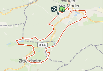

9,1 km | 12,3 km-effort


Tous les sentiers balisés d’Europe PRO


Kostenlosegpshiking-Anwendung
 SityTrail
IGN / Geografische Institute
SityTrail World
Die Welt öffnet sich für Sie
Tour Zu Fuß von 10,8 km verfügbar auf Großer Osten, Unterelsass, Wingen an der Moder. Diese Tour wird von SityTrail - itinéraires balisés pédestres vorgeschlagen.
Trail created by Club Vosgien.


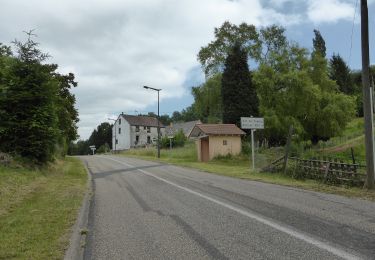
Zu Fuß

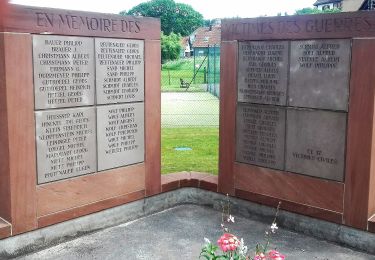
Zu Fuß
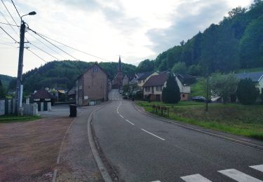
Zu Fuß
Zu Fuß

Zu Fuß

Zu Fuß
Zu Fuß

Zu Fuß

Zu Fuß